You’re traveling to Malta and want to incorporate a hiking adventure or two on your trip, but are not quite sure where to begin. I don’t blame you.
I remember flying into Malta and looking out of the plane window. My thought was, ‘damn, that’s a lot of construction covering the entire island. Where can I find anywhere to go hiking?’
Luckily, it’s not as bad as it looked from the plane window. There are many amazing hikes in Malta and believe it or not, it can be hard to choose where to go. In fact, hiking might just be one of the top reasons to visit Malta altogether.
Malta’s coastline is lined with stupifying cliffs curtaining down to glittering turquoise water forming caves and swimming holes. On top of the cliffs, there is a vast network of hiking trails crisscrossing the rough landscape.
After spending a month and a half on the island, I covered quite a few hiking trails across the island(s). To help you decide which ones to go for, I’ve listed what I found the best hikes in Malta in this post.
Disclosure: This post may contain affiliate links. That means that if you make a purchase through one of those links, I will get a small commission at no extra cost to you.
MORE FROM MALTA
- Pretty cities and towns in Malta
- Malta in winter
- Reasons to visit Malta
- 2 Days in Malta
- 3 Days in Malta
Best time to go hiking in Malta
Malta in winter is perfect for hiking with daytime temperatures between 15 and 20 degrees celsius. There are only a few rainy days a month, and even on a windy day, you can easily put on a windbreaker and choose a hike that isn’t right on the cliffs.
In the late winter and spring, you’ll be rewarded with colorful flower fields and you could safely bring your swimwear and a towel if you happen to pass by a beach and want to cool down.
The summer months, on the other hand, can get extremely hot and I don’t recommend going on long or inland hikes. In summer, you might choose to do parts of a hike or do a shorter one in the evening a couple of hours before sundown when the temperatures are cooler and you can enjoy a mesmerizing sunset in nature.
Best hikes in Malta
Comino Island Loop Walk
Hiking specs:
- Distance: 10 km
- Hiking time: 2-3 hours
- Difficulty: Easy
- Type of hike: Circular
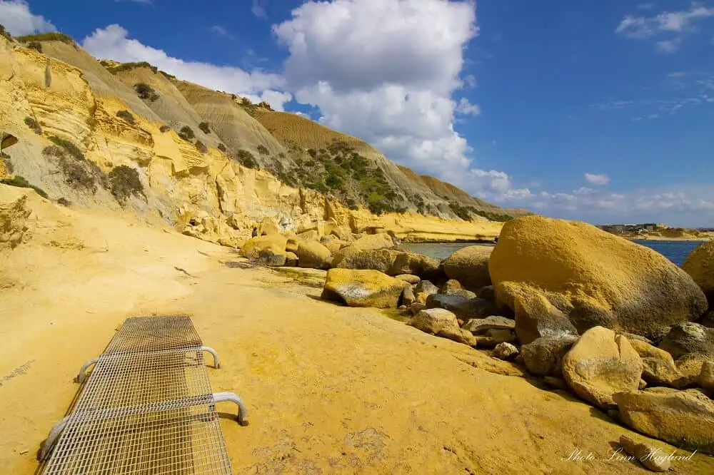
The tiny island of Comino, nestled between Malta Island and Gozo Island is usually overlooked as a hiking destination as most tourists only head there on a boat trip to swim in the mesmerizing Blue Lagoon.
The island is only inhabited by a handful of people, which means it’s mainly nature! One of my truly favorite hikes in Malta is the Comino Island Loop Walk taking you around the whole entire island.
When you get off the boat at the Blue Lagoon, walk up the road and take the trail towards the left. From there you can continue the path until you get to San Niklaw Bay, a large, rocky bay. When I went, the path was blocked a little further, so you’ll have to scoot up the hill inland before hitting the trail down to Santa Maria Bay.
This is a great spot for a snack or a swim. Continue up the trail from the beach. When you get to a junction, turn around for the staggering views before taking the left turn down to the coast again.
There, you can take a quick detour to the left to see the remains of the fortress of Il-Batterija ta’ Santa Marija before you follow the coast past the Saint Mary’s Tower.
Take a detour out to the tip of Lantern Point for stunning cliff views before continuing past L-Għar ta’ Bla Saqaf and the Crystal Lagoon. Also worth taking a stop there to explore the views.
From there, there’s only a short walk back to the Blue Lagoon where the boats pick you up again.
Victoria Lines to Mosta
Hiking specs:
- Distance: 10 km
- Hiking time: 3-4 hours
- Difficulty: Easy to Moderate
- Type of hike: Linear
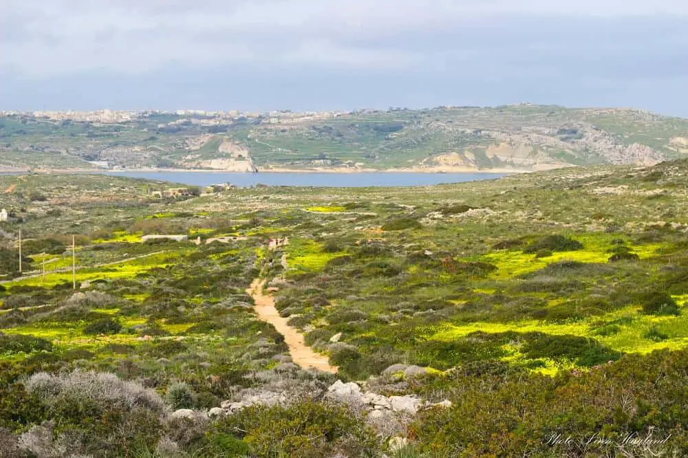
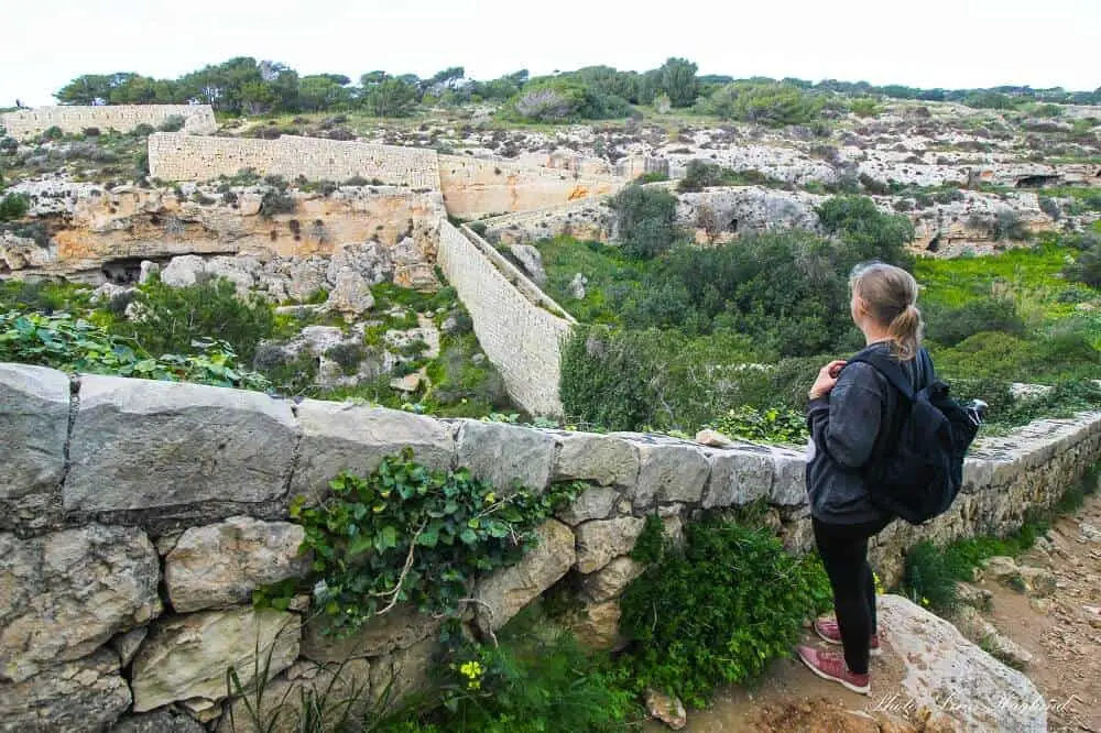
One of the most underrated hikes in Malta is the ancient Victoria Lines. These fortified walls cross Malta, dividing the north from the south. It’s known to be used for protective purposes all the way back to pre-historic times and was used for military purposes in the 17th and 18th centuries.
There is a fairly easy-to-follow trail along the remains of the wall. While I just walked from the west to Mosta, the lines continue all the way to the east of the island.
You’ll be rewarded with mesmerizing coastal views and countryside interrupted by ancient stone walls that breathe history! This is no arguing one of the best Malta hiking adventures to have!
Dingli Cliffs to Blue Grotto
Hiking specs:
- Distance: 13.2 km
- Hiking time: 3-4 hours
- Difficulty: Moderate
- Type of hike: Linear
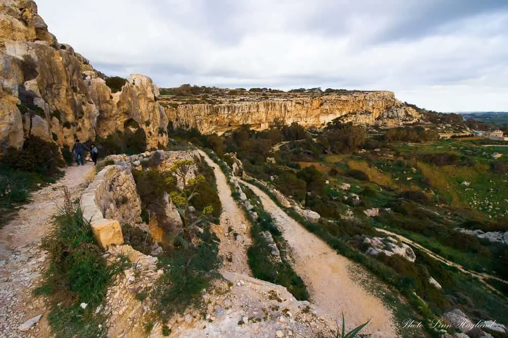
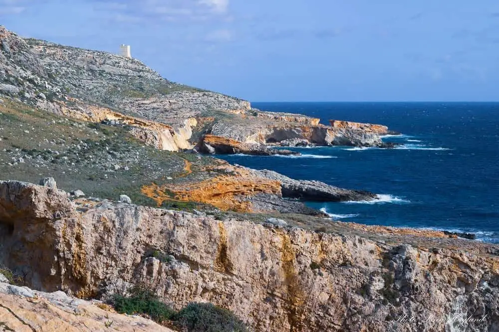
Dingli Cliffs to Blue Grotto is an amazing hike. Malta has a lot of private properties that you can’t walk through, and on this trail, you’ll pass quite a lot of them, so make sure you respect the signs and walk around where required.
You can take the bus from Mdina to Dingli Cliffs and from there you’ll follow the trail on top of the cliffs before it winds down along golden limestone walls, past farms, and houses. All the time with the glittering sea on your right-hand side.
The trail turns into a track, and then into a narrow country road. Keep going until you reach an ancient aqueduct. In the junction, you’ll have to walk on the road for a while so be cautious about the passing cars. Once you reach a big roundabout, keep straight/right towards the water below, you’ll pass a castle on your right before reaching Ghar Lapsi.
This is a great place to have lunch before taking on the last bit along the cliffs. If you ask the locals, you’ll probably hear that the trail stops at some point, but it doesn’t. Keep going until you see the watchtower on top of the cliff on the left.
Shortly before reaching the Tal Hamrija watchtower, you have to follow the red dots marking the trail up the hill. You might have to do a little scramble depending on the path you choose. Once up, you’ll find yourself between a part of the Hagar Qim archaeological site and the watchtower.
Follow the trail along the stone wall until you get to the entrance of Hagar Qim. Unless you want to explore the site (which I highly recommend,) continue down the road until you reach the Blue Grotto.
Marfa Ridge Walk
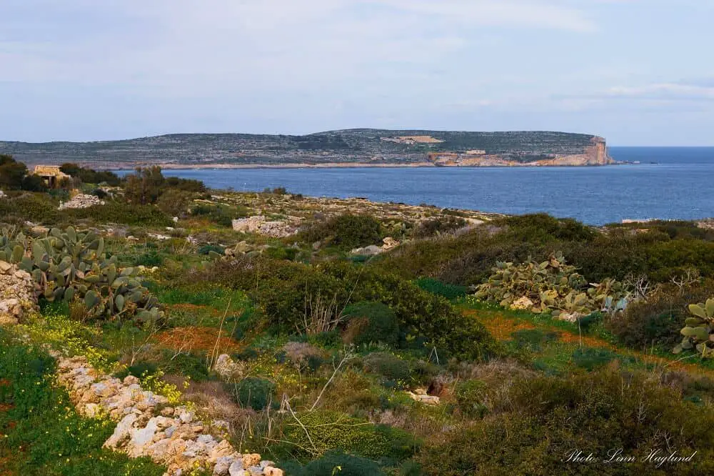
If you want to wander along old country roads with sweeping views of Gozo and Comino islands, meander through fishing settlements, and explore blowholes, the Marfa Ridge Walk is one of the best Malta walking trails.
It’s an easy walk starting from Ghadira Bay, taking you up to the Red Tower, down country roads lined with stone walls, along jaw-dropping cliffs until you reach the ferry port.
From there, you can follow a trail alongside the waterfront or the road. Passing through villages, resorts, and beaches on the north face of the island, the route takes you past the White Tower and the Coral Lagoon.
Looping around the eastern tip, you’ll leave the towns behind and follow the top of the cliffs all the way back to Ghadira bay.
Hiking specs:
- Distance: 14 km
- Hiking time: 3-4 hours
- Difficulty: Easy
- Type of hike: Circular
Old Roman Road – Xemxija Heritage Trail
Hiking specs:
- Distance: 4 km
- Hiking time: 1.5 hours
- Difficulty: Easy to Moderate
- Type of hike: Circular
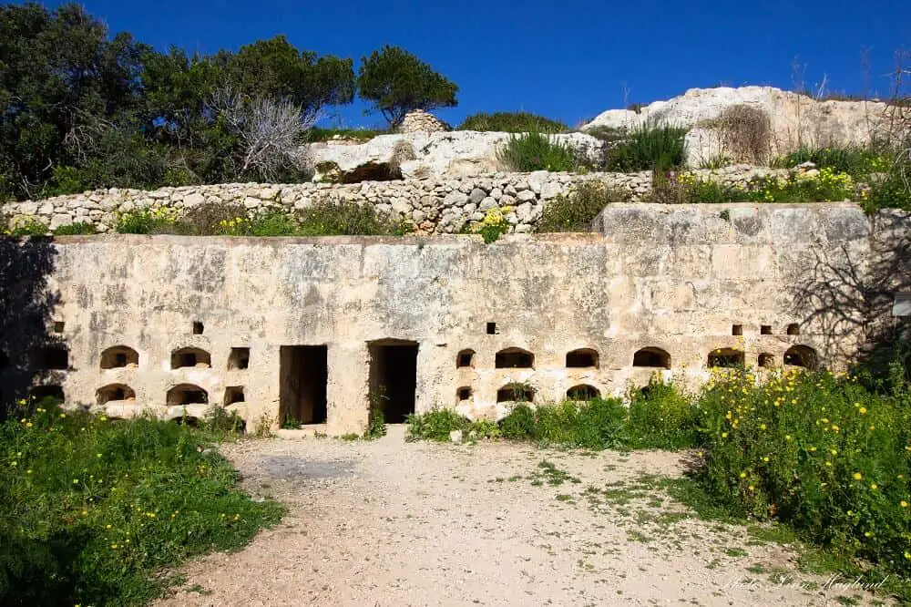
Truly one of the most amusing Malta hiking trails is the Xemxija Heritage trail aka Old Roman Road. Take the bus to Xemxija Bay and you’ll see signs to the trail from the road.
This is probably one of the Malta walks that is the most fun for the entire family with ancient Roman ruins, and Punic caves and tombs.
Following the trail, you can venture into an ancient Roman Apiary, touch a 1000 year old carob tree, take shelter in an ancient burial cave, take a peek into a Punic tomb, wander through a cave that was inhabited all the way back to Punic times, climb into ancient silos in the ground, and venture into the remains of an ancient Roman bathhouse.
These are just some of the highlights of this round trip that you’re guaranteed to enjoy!
Xemxija to Golden Bay
Hiking specs:
- Distance: 8 km
- Hiking time: 2.5-3.5 hours
- Difficulty: Easy
- Type of hike: Linear
Starting with the Old Roman Road, this walk takes you across the island to the mesmerizing Golden Bay. this is truly a Malta trekking experience that will have you mesmerized.
Where the Xemxija Heritage Walk leaves the track, you continue straight and keep walking through the lush Maltese countryside. You’ll have to cross the road a couple of times until you reach the Mellieha viewpoint.
From there, you’ll see sweeping coastal views, the Red Tower, and Popeye Village.
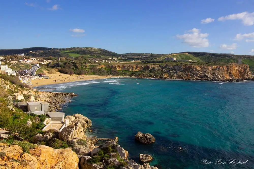
Continue by following the trail toward the left until you get to the viewpoint of Golden Bay by the Radisson Blue Hotel. Behind the hotel, there’s a passageway you can follow until you reach Golden Bay.
Popeye village to Golden Bay
Hiking specs:
- Distance: 5.5 km
- Hiking time: 1.5 hours
- Difficulty: Easy
- Type of hike: Linear
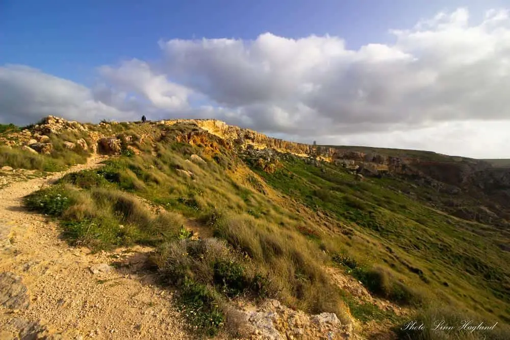
If you want to combine the unique Popeye Village film set with an astounding hike, this one is for you. Leaving Popeye Village down the coast, you’ll walk on top of a dramatic scenery of cliffs plunging into the deep sea below.
This is an easy yet spectacular hike with constant panoramic views that you’re bound to enjoy. The trail truly shows you that walking in Malta is one of the best ways to enjoy the nature and scenery of the island.
When you get close to the Golden Bay viewpoint, you can take a detour down to the right for spectacular scenery before continuing through the passageway behind the Radisson Blue Hotel that takes you to Golden Bay.
Gozo: Mgarr to Xlendi beach
Hiking specs:
- Distance: 14 km
- Hiking time: 3.5-4.5 hours
- Difficulty: Moderate to Demanding
- Type of hike: Linear
Saving the best hike in Malta for the end, the trail connecting Mgarr in Gozo with Xlendi beach is truly spectacular giving you a fabulous introduction to hiking in Gozo. This can easily be done as a day trip from Malta to Gozo, or you can stay the night in the enchanting Victoria.
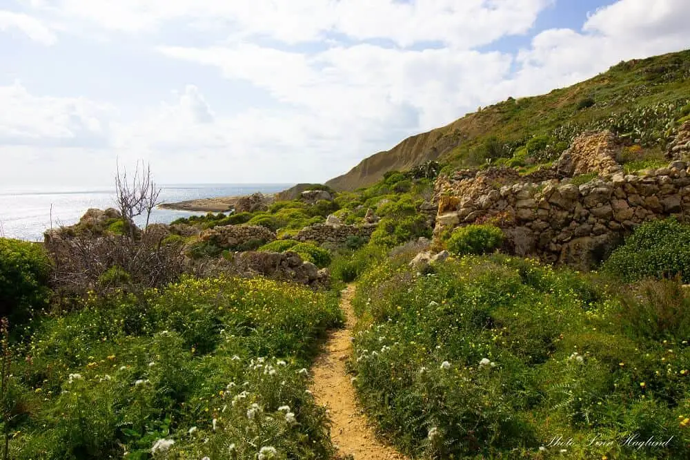
Leaving straight from the ferry port in Gozo, you’ll follow the coastal trail alongside spectacular scenery. In some places, the trail is steep and can be slippery, so make sure you have adequate footwear.
When you reach the Cenc Cliffs, you’ll have to loop into the nearby town to avoid private property before you loop back onto the clifftops.
I highly suggest using the app Maps.Me to get a good overview of the trails.
Continuing along the top of the cliffs, you’re about to witness some of the most spectacular scenery of cliffs in Malta, the Xlendi Cliffs, but be careful not to go too close to the edges.
Reaching Xlendi Tower and the salt pans, the trail loops inwards, crossing an old Roman Bridge, before entering Xlendi, and eventually, you’ll reach the beach.
I repeat, this is one of the most spectacular Malta hikes and should definitely be added to your bucket list if you visit Gozo.
Reflections on hiking in Malta
After hiking in Malta for a month and a half, I can say that it’s a stunning place for nature walks. But I started craving mountains after a while. But that might just be me. I really enjoyed every single hike I did, even the ones I haven’t listed here.
Malta’s nature scene is truly captivating and because there isn’t that much elevation, it’s perfect for beginner hikers and anyone who isn’t that used to hiking. At least most of the hikes.
I truly recommend anyone visiting Malta to go hiking at least once. If you’re there in the summer months, try a shorter hike where you can go swimming along the way.
Happy hiking!
